
Map Colleyville ZIP Coverage
The official Tarrant County ZIP and voting-precinct map effective January 1, 2024 labels Colleyville as 76034. That is the only ZIP coverage fact confirmed in the official material reviewed. No official source located an exhaustive statement that 76034 serves every municipal address, a second code serving a Colleyville address, or a local post-office assignment for every delivery point. The Colleyville ZIP code directory therefore records one confirmed row and keeps the postal questions visible.
| ZIP | Areas Covered | Post Office | Notes |
|---|---|---|---|
| 76034 | Colleyville label on the official Tarrant County map | Verify assignment through USPS ZIP Lookup | Map effective January 1, 2024; exact delivery boundary and out-of-city exceptions were not stated. |
The county map is an election and GIS product, not a delivery promise. It is useful for a common local code and voting geography. USPS address validation remains the source for a particular mailing address, postal city, and any ZIP+4 result.
Verify Colleyville ZIP Codes
Use the complete delivery address in the USPS ZIP Code Lookup before copying a ZIP into a research note. A live Colleyville result was not captured in the research, so the actual city designation, delivery code, and ZIP+4 must come from the current USPS response. Do not fill that gap with a map label or a third-party postal list. Preserve the entered address and the date of the postal check when a record search depends on it.
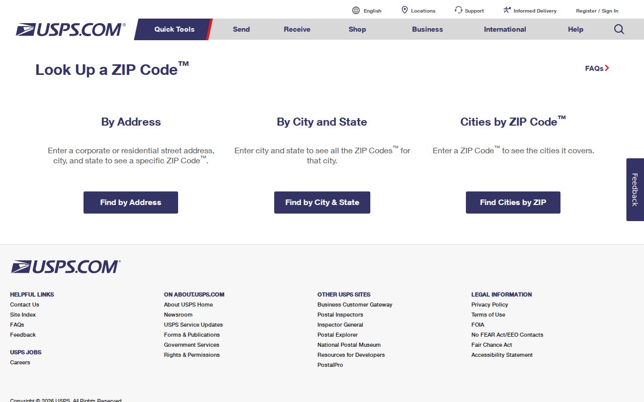
The lookup is an address-validation step. It does not settle the municipal city line, the location of a parcel, or whether the postal city matches the property city used by another custodian.
Note: The official county map confirms the 76034 label, while USPS confirmation is still needed for each delivery address.
Search a Colleyville ZIP
A ZIP narrows a search only after the address is verified. Use it as a sorting field, then compare it against parcel and city fields kept by the relevant office. Tarrant's public systems do not offer one ZIP-wide property or household result. Each system accepts different inputs, and its result has a different meaning. That difference matters when a record points to a mailing address rather than a property location.
- Confirm the delivery address through USPS and retain the current ZIP result.
- Search TAD with the property address or another available property key. Its result displays property address and property city, rather than a confirmed ZIP field.
- Use Tarrant GIS with an address, account, or owner to map the parcel. No ZIP field was visible in the observed GIS interface.
- Use the Tax Office account route for owner-address context, then compare that field with the property's situs address.
- For voter registration context, use the official name, county, date-of-birth, and ZIP route only as allowed. A voter-file request uses county, district, and precinct filters instead of a ZIP-wide resident export.
Once a postal search narrows the area to an address, the Colleyville street directory follows the parcel and recorded-instrument trail by street.
Colleyville Postal Fields
ZIP-capable search fields are not equal. USPS uses address information to return a current postal result. The Texas My Voter Portal can use ZIP as one element of a regulated name route. The Texas Department of Licensing and Regulation administrative-order search has a ZIP field only for license records. TAD, the Tax Office, and GIS have address-related fields that serve other purposes. Keeping those limitations in the record note prevents a search box from becoming a claim about a parcel.
| System | ZIP or address field | Useful output | Limit |
|---|---|---|---|
| USPS ZIP Lookup | Address, city, state, or ZIP | Current postal validation | Not a city-boundary authority. |
| Texas My Voter Portal | Name, county, DOB, and ZIP route | Registration and precinct context | Regulated voter information, not a ZIP-wide roster. |
| Texas SOS voter-file request | County, district, and precinct filters | Formal voter-file request path | Notarized affidavit and $75 deposit apply; no ZIP filter stated. |
| TDLR administrative orders | ZIP among license fields | License program or order context | License-only field, never a parcel inference. |
| TAD and Tarrant GIS | Property address, city, account, or owner | Parcel or map context | No ZIP field was observed in GIS; TAD returns property city. |
The Tarrant County GIS Public Map Viewer presents the address, account, owner, map-layer, and facility routes used to place a verified address in parcel context.
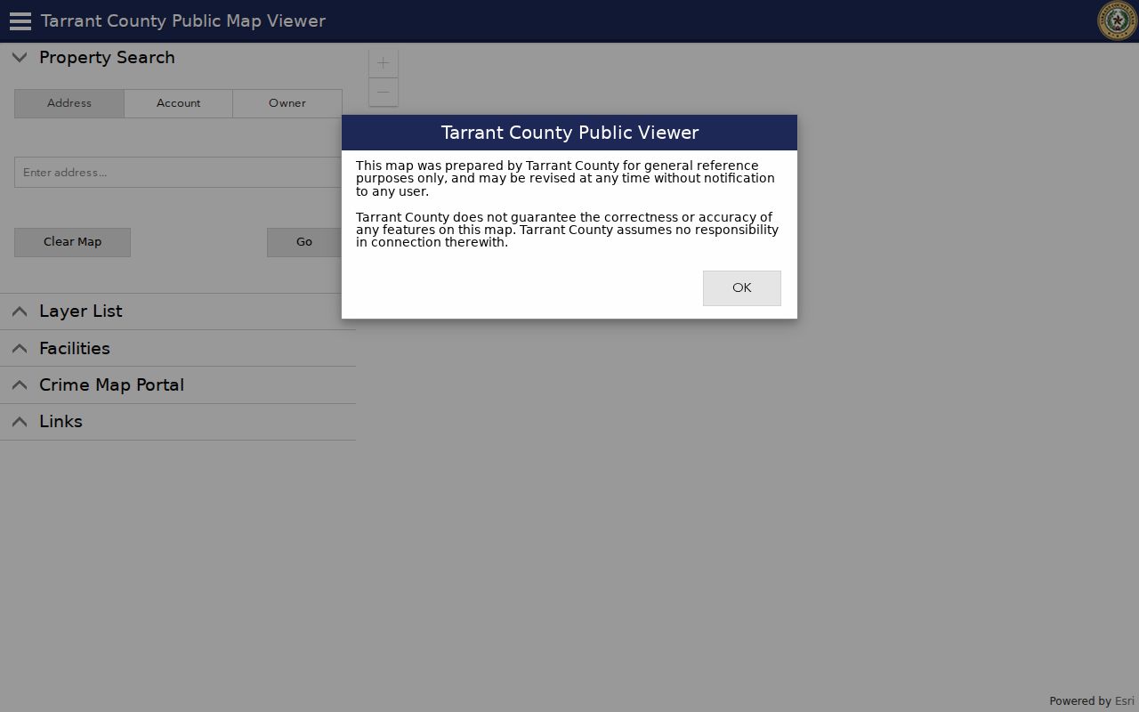
GIS can confirm the mapped parcel and related layers after an address is known. The observed interface did not show a ZIP field, so retain the USPS result as a separate postal field.
Use a license profile only for the regulated credential or administrative-order record it actually describes. A ZIP in that system may be associated with a business, mailing, or credential record. It does not establish a person's home location.
Colleyville Boundary Mismatches
Postal geography and city geography can overlap without matching. A postal city may differ from a municipal boundary. A parcel's situs can remain in Colleyville while a mailing address is elsewhere. A legal description may not contain a current street number at all. The county map labels Colleyville and 76034, but it does not identify every out-of-city delivery exception or say that no other ZIP reaches a municipal address.
Boundary check. Keep ZIP, postal city, municipal city, situs address, mailing address, and legal description in separate columns. Compare each field with its own source rather than merging them into one location label.
- ZIP
- A postal sorting code associated with delivery processing. It is not a municipal boundary.
- ZIP+4
- An added four-digit delivery detail returned by USPS for a specific address or delivery point.
- Postal city
- The city name USPS associates with a delivery address. It can differ from the municipal jurisdiction.
- Carrier route
- A postal delivery grouping used for mail processing. It does not identify a legal subdivision or city boundary.
Colleyville Planning Areas
Colleyville's comprehensive-plan material describes six neighborhood planning areas shaped by HOA service areas, major roads, railroads, and creeks. That is a planning geography, not a postal assignment. It helps explain why a person may use a neighborhood name that does not appear in a TAD legal subdivision or a clerk's plat index. The county map adds ZIP and voting-precinct context, while Tarrant GIS supplies the parcel map.
Start a local geography note with the map date and source. Then record whether a label comes from a planning area, legal subdivision, postal result, or property city. The distinction is especially useful where a road, creek, rail line, or association boundary appears to divide an area that shares the same common ZIP label.
Colleyville Record Roles
Address labels need a role before they can be compared. TAD may show a property address, property city, primary owner label, and primary owner address. The Tax Office supports account and owner-address context. A deed identifies parties to a recorded conveyance. A plat describes land configuration. An organization or license record can show a mailing, registered, operating, or credential address. None of those labels automatically means that the named person lives at the delivery address.
Keep the source's field name in the note. For example, record “property city” rather than replacing it with “postal city,” and record “mailing address” rather than calling it a situs. This matters in Colleyville because the postal map, municipal boundary, parcel map, and recorded legal description are maintained for different tasks. A clean role label lets a later searcher test the same record without adding an unsupported claim.
When a name repeats across records, compare a second independent element such as an account, subdivision, middle initial, document relationship, or dated organization role. A shared ZIP alone is too broad to identify a person or connect separate parcels.
Colleyville Address History
Historic address research needs older place names as well as postal information. Before Colleyville incorporated in 1956, records may use Spring Garden, Bransford, Pleasant Run, Pleasant Glade, a rural route, or Tarrant County. Those terms are research variants for maps, land files, directories, and census material. They are not evidence that a historical address had a particular modern ZIP code.
The documented Bransford Road and Shelton Drive realignment from 1997 through 1999 is a local continuity warning. A historical reference may use the earlier road arrangement while a current GIS record uses the later one. No official ZIP split, postal realignment year, E911 readdressing project, universal grid system, or citywide renumbering chronology was located. Mark the mismatch and compare the road history, map date, and legal description instead of guessing.
Colleyville Postal Records
When the public portals do not answer a narrow address question, request the document series that does. A Texas Public Information Act request may be sent in writing by mail, fax, email, or in person. Identify the address, TAD account, subdivision, Block and Lot, document number if known, record type, date range, and desired format. A public body should promptly release non-exempt material or provide written notice with a date or status if it cannot do so within ten working days.
For a county land document, the clerk's online index is usually faster than a general request. Search by party, subdivision, document number, book-volume-page, or legal description and identify the instrument before ordering a copy. Mail, online-account, and Room B30 routes are documented. The ZIP alone is rarely enough to locate a plat, permit, or deed because those records are normally keyed to a parcel, legal description, or instrument detail.
Colleyville ZIP Limits
A Colleyville ZIP code directory cannot establish who lives at an address. Postal data does not turn a property address into a household list. TAD owner displays, Tax Office owner-address fields, deed parties, voter registration, directory listings, license records, and mailing addresses are distinct record roles. Compare at least two independent elements before treating same-name results as related, and preserve the source date for each one.
Texas voter data has protected fields and formal access rules. The SOS voter-file request uses a notarized affidavit, contact information, specified filters, and a $75 deposit. Address-confidentiality participants and other protected records must not be reverse-identified from a missing result. Do not use postal or public-record information to stalk, harass, intimidate, or harm anyone.